“And Jesus went out with His disciples to the villages of Caesarea Philippi. On the way He asked them: Who do men say that I am?”— Mark 8:27
Where is Caesarea Philippi? Which road did they take? The passage stays up in the air.
Explore biblical places, routes, and events through detailed maps, 3D
reconstructions, and over 300 images from Genesis to Revelation.
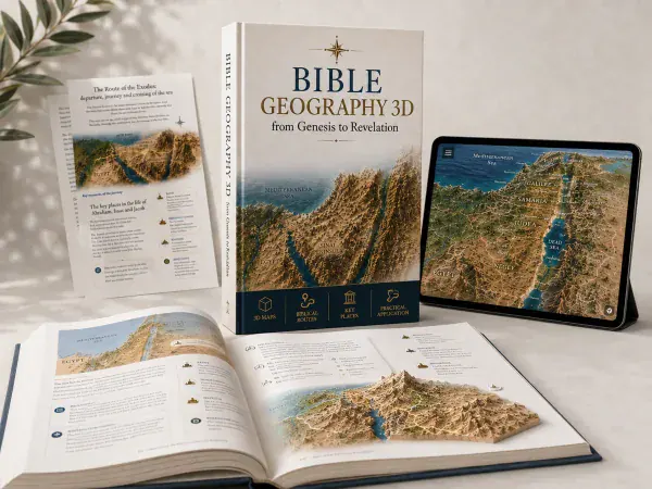
Compatible with KJV, NIV, ESV, NKJV and all major English Bible translations.
Browse real pages of the material and see the visual quality of the maps,
3D images, and biblical explanations before unlocking the full guide.
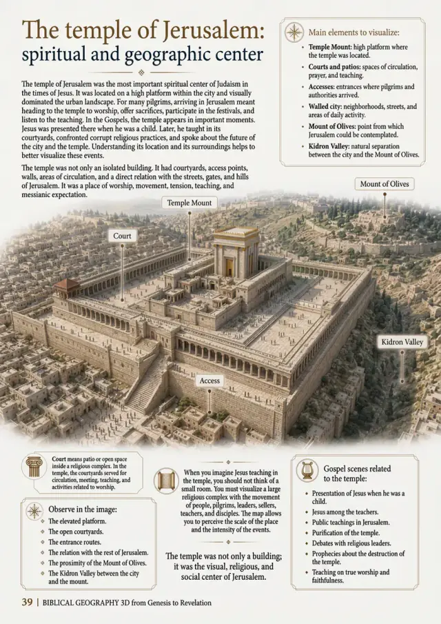
These are just a few preview pages. The full guide brings together more than 50 visual studies with maps, realistic images, and biblical explanations organized to make your understanding easier.
I WANT TO ACCESS THE 3D MAPSThe Bible mentions hundreds of real places — Bethel, Ephraim, Capernaum, Joppa — but without seeing them, you lose the context of the story. Reading without locating is reading only half of the message.
“And Jesus went out with His disciples to the villages of Caesarea Philippi. On the way He asked them: Who do men say that I am?”— Mark 8:27
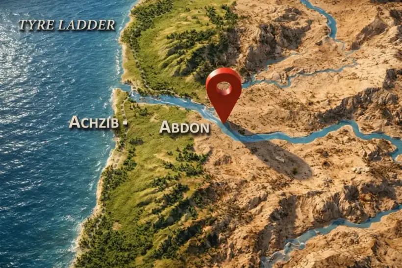
Where is Caesarea Philippi? Which road did they take? The passage stays up in the air.
“And Jesus went out with His disciples to the villages of Caesarea Philippi...”
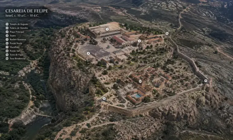
The difference between reading and understanding is seeing the setting where it all happened.
Designed with archaeological precision and cartographic depth — from Genesis to Revelation.
Clear visual guidance across all 66 books of the Bible, connecting events to real locations.
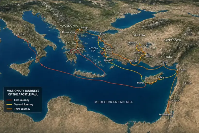
High-precision topography, Exodus paths, Paul's missionary routes, and ancient trade borders.
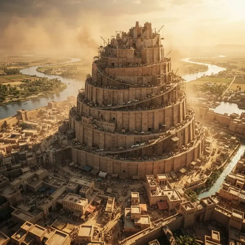
Hyper-realistic 3D reconstructions of Jerusalem, the Tabernacle, Solomon's Temple, and Babylon.
Over 300 rich, ultra-high-definition visual scenes and satellite perspectives for deep immersion.
A carefully organized visual resource to help understand biblical texts, connecting each event to its real-world settings, locations, and contexts from Genesis to Revelation.
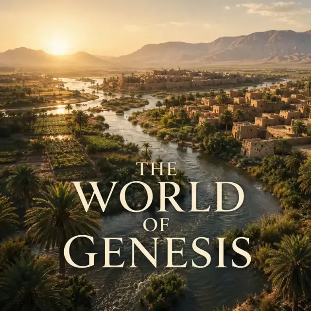
The setting where biblical history begins, with the first lands, peoples, and routes mentioned in Genesis.
Over 4,000 satisfied readers studying Scripture with high-definition 3D reconstructions.
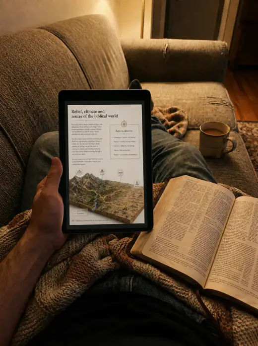
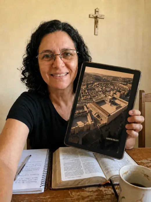
“Incredible! I never imagined the Bible could be so visual. The 3D maps helped me so much in my Bible study group.”
Verified reader Verified purchase
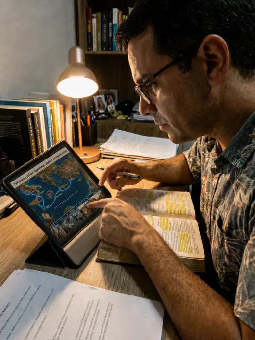
“Top-notch quality material. The images are crystal clear and the geographical contexts bring the biblical passages to life.”
Verified reader Verified purchase
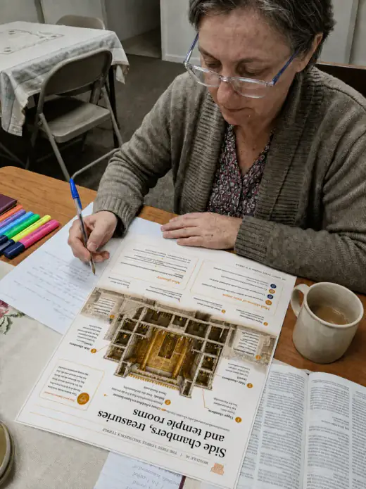
“I recommend it to anyone who wants to understand the Bible on a deeper level. Worth much more than the price.”
Verified reader Verified purchase
“As a Sunday school teacher, this material revolutionized my classes. The students are absolutely fascinated!”
Verified reader Verified purchase
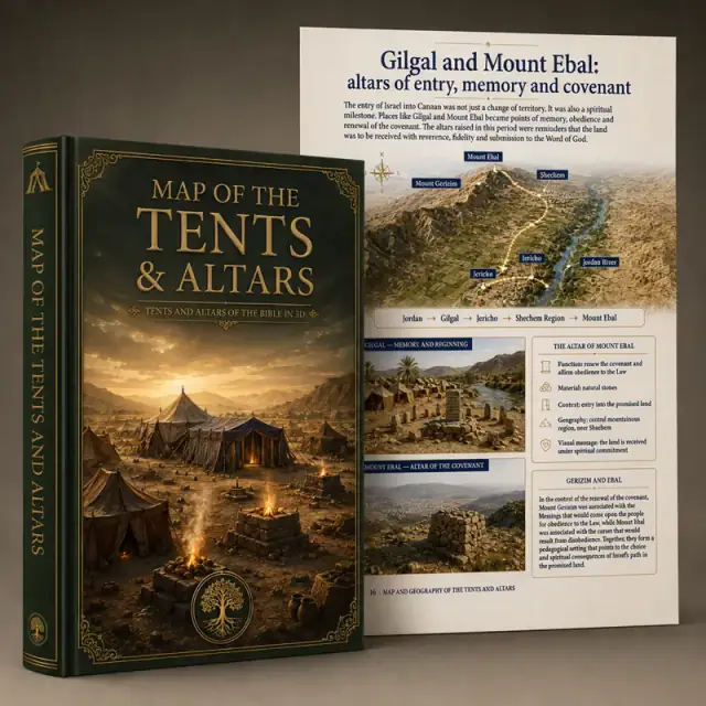
Discover the full architecture and geography of God's first dwellings and the biblical altars, all in 3D.
Was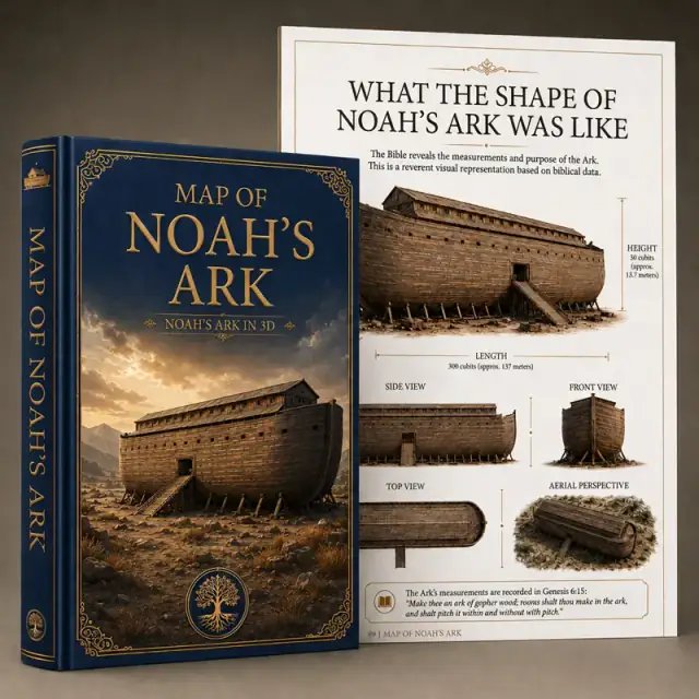
3D map of the architecture of Noah's Ark, based on archaeology.
Was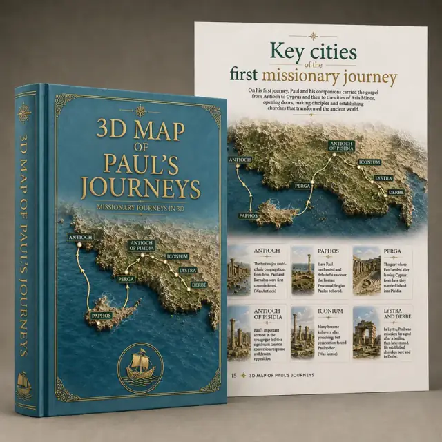
Travel in 3D through the missionary routes of the apostle Paul, from Antioch to Rome.
Was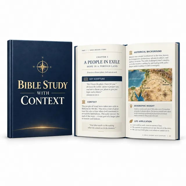
Understand the Bible with greater clarity.
Was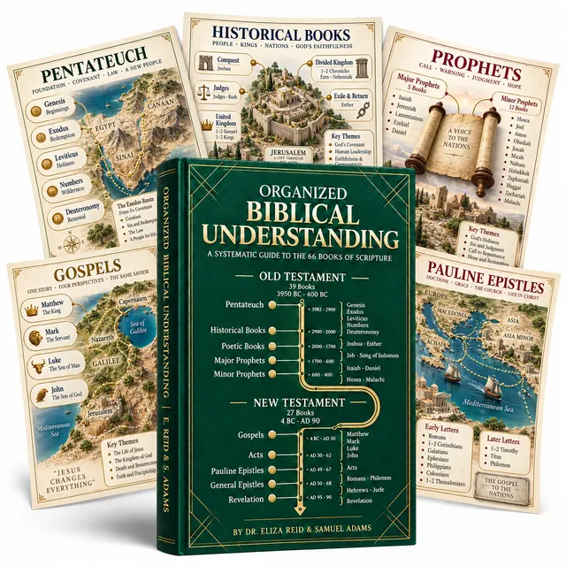
The Bible explained in an organized way.
Was
Biblical organization for your daily routine.
Was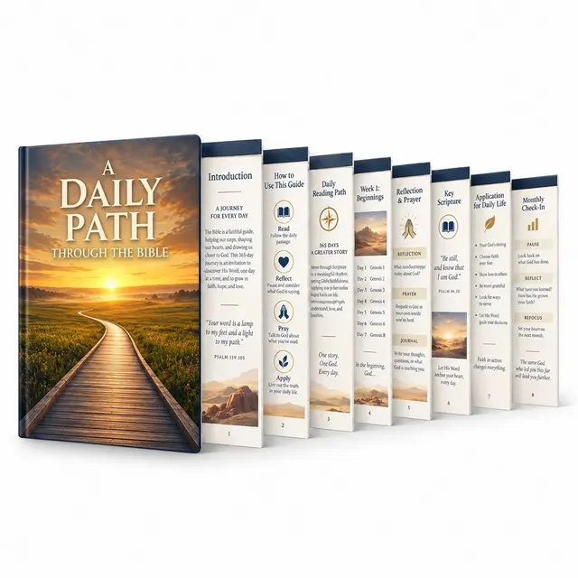
A little bit of the Bible every day.
Was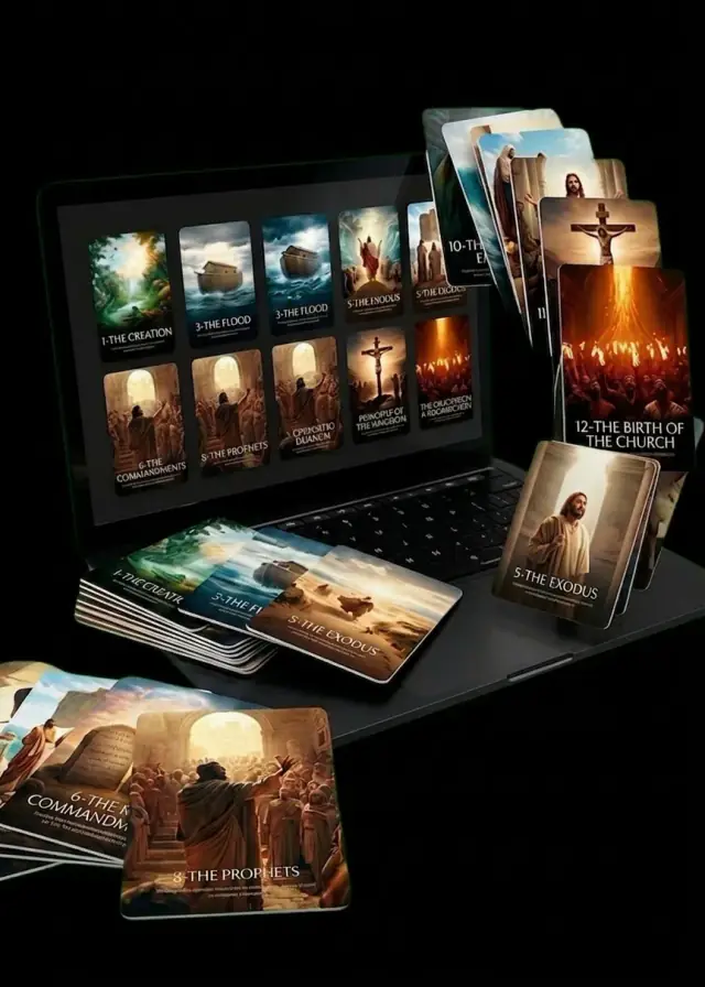
+30 high-definition 8K cards of the main biblical stories.
WasThis offer expires in:
Pay once. Keep forever. Lifetime access with no recurring charges.
🔥 19 people are viewing this offer right now
We are so confident in the quality of our material that we offer an unconditional 30-day money-back guarantee. If you're not satisfied for any reason, we'll refund 100% of your investment — no questions asked.
I WANT TO ACCESS THE 3D MAPS🔥 18 people are viewing this offer right nowHave questions or need help? Send an email to our team.
Send EmailEmily R. purchased
Biblical Geography 3D8 min ago